
Aerial & Drone Photography
Aerial & Drone Photography for Los Angeles Real Estate
FAA Part 107–licensed aerial photography and video for LA listings. One shot that shows the lot, the setting and the views at once — the aerial stills deliver in under 24 hours alongside the rest of your gallery; aerial video runs on its own edit timeline.
5.0 · 86 five-star reviews · FAA Part 107 certified
Updated July 2026
Virtual View Tours is a Los Angeles real estate media studio. We fly FAA Part 107–licensed aerial drone photography and video for agents whose listings need more context than a ground shot can give: view homes, estates, land parcels, and coastal or hillside properties. Aerials are captured in the same visit as your photo and video, and the stills gallery lands in under 24 hours — the aerial video runs on its own edit timeline.
What a floor plan can't show you
Interior photos sell the rooms. Aerials sell everything around them: how big the lot really is, how the home sits against the street, what the neighbors look like, where the light and the view fall through the day. For a buyer scrolling listings, that context is often what separates "nice house" from "I need to see this in person."
It matters most on the properties where a ground shot simply can't tell the whole story: hillside and canyon homes where the setting is the selling point, waterfront and coastal listings where the view drives the price, large estates and lots where scale is what you're really selling, and land or development parcels where boundaries and topography are the entire pitch.
Licensed and airspace-aware
Every VVT aerial flight is operated under an FAA Part 107 remote pilot certificate, and every shoot is planned around the airspace the property sits in. Some parts of LA fall inside controlled airspace near airports. Others carry local or HOA restrictions. We check each address and fly within what's compliant, so you never have to think about the paperwork. For what aerial coverage costs and the licensing behind it, see our guide to drone photography cost and rules in LA.
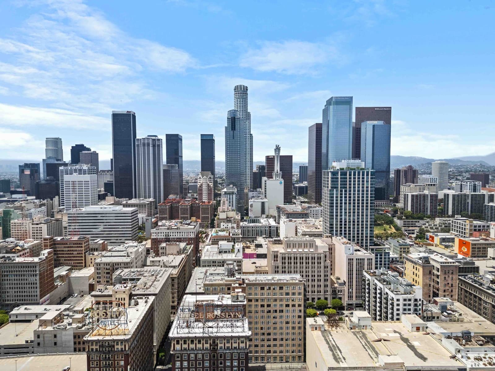
The opening shot a luxury home deserves
Estates and view properties earn a different kind of first impression. An aerial establishing shot (often paired with a twilight exterior) sets the tone before a buyer ever sees the front door. It's usually the frame that gets shared and reposted, too.
VVT builds a dominating market presence for the agent.
Treat the aerial as the frame that makes a listing feel like an event, not an afterthought at the end of the shoot. Pair it with cinematic video and you've got the piece that wins your next listing pitch, too.
Book your LA shoot →Recent aerial work
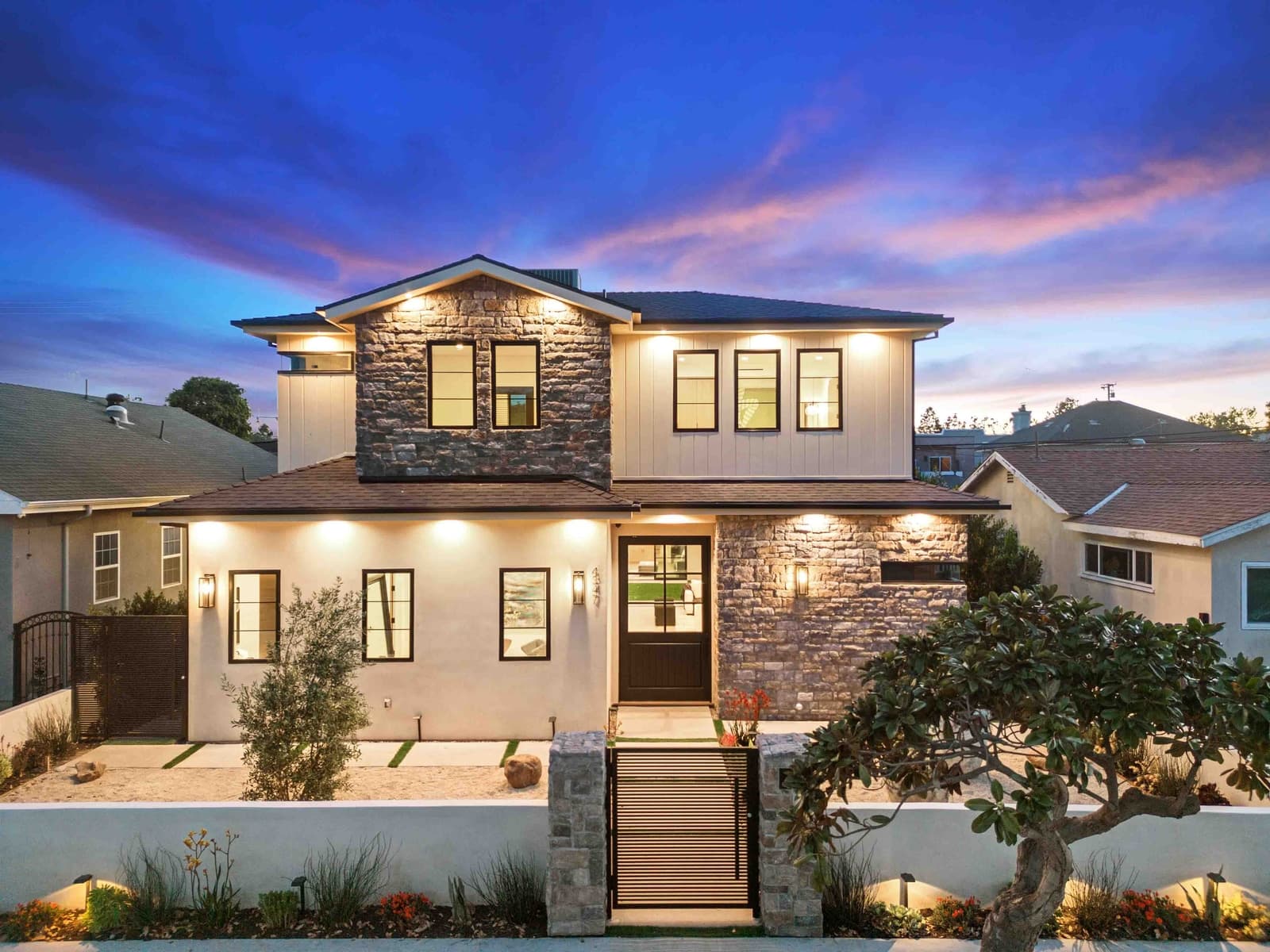
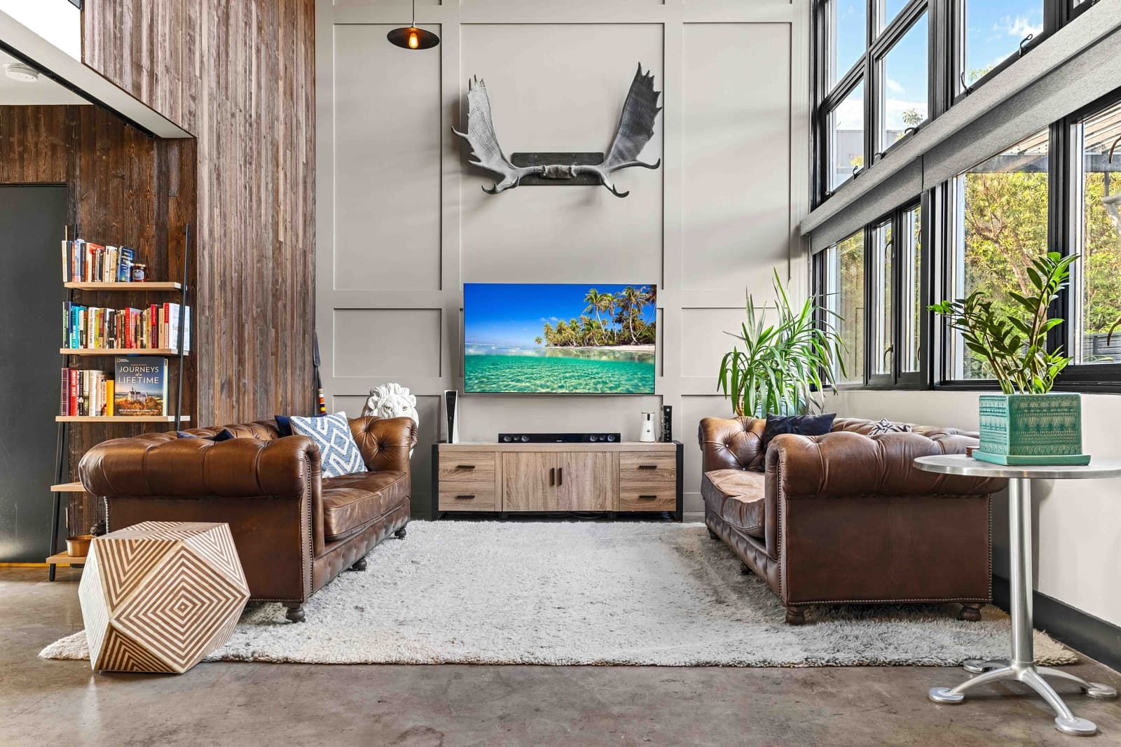
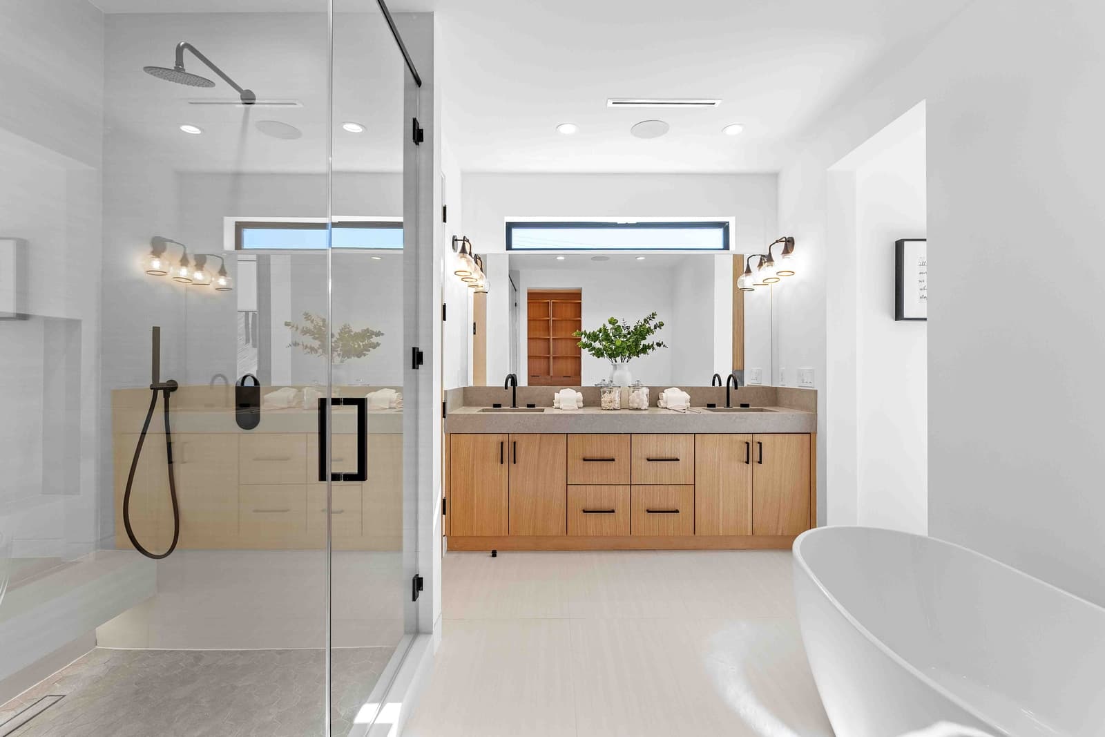
From the lot to the horizon.
A look at recent aerial and twilight frames captured across Los Angeles.

How it works
Aerial, included in the same visit.
No separate flight, no extra scheduling. Your aerial coverage happens the same day as your ground shoot.
Book your shoot
Add aerial coverage when you book. We check the airspace for your address ahead of time.
We fly compliantly
A Part 107–licensed pilot captures the property, lot and setting from the air.
Delivered next day
Aerial stills land in your branded gallery within 24 hours, ready to publish. Aerial video runs on its own edit timeline.
You launch the listing
Lead with the aerial establishing shot, the frame that sets the tone before the door even opens.
The drone and aerial shots are hands-down the best I've ever seen, stunning visuals that truly elevate every listing.
Questions, answered
Aerial & drone photography, the essentials.
What areas can you fly a drone in?
Virtual View Tours flies aerial coverage for listings across Greater Los Angeles, including Beverly Hills, Malibu, Calabasas, Santa Monica, Pasadena, Manhattan Beach, Downtown LA and Silver Lake. Every flight is planned around the property's specific location before the shoot. If your address is in the LA metro, chances are we cover it.
Are there airspace restrictions near LAX or other airports?
Yes. Parts of Los Angeles sit inside controlled airspace near airports like LAX, Van Nuys and Burbank, and some neighborhoods carry additional local or HOA restrictions. Virtual View Tours is FAA Part 107–licensed and checks airspace for every address ahead of the shoot, flying only where and how it's compliant to do so. If a property does fall in restricted airspace, we'll tell you before the shoot exactly what aerial coverage is possible.
Do you offer aerial stills, video, or both?
Both. Aerial coverage can include still photography for your gallery and MLS listing, cinematic aerial video for your reel and social content, or a mix of the two, whatever the property and your marketing plan call for. It's captured in the same visit as your ground-level photo and video.
What happens if the weather doesn't cooperate?
Wind, rain and low visibility can all affect whether a drone can safely fly on a given day. If conditions aren't safe for aerial work at your scheduled time, we'll reach out to reschedule just the aerial portion. Your ground-level photo and video shoot isn't held up by the weather.
Even the aerials are an impression of your brand: another listing, marketed like it mattered.
Make the impressions compound →Ready when you are
Show the whole property, lot and setting included.
Marketing should be the absolute last reason an agent loses a listing. Book your shoot and add licensed aerial coverage in the same visit.